
100% Results. Lower Costs. True GIS Expertise.
Turning spatial problems into operational wins.
Get high-quality, location-driven insightsdelivered on time, within budget, and backed by rock-solid automation.
100% Results-Driven. No Bottlenecks.
Cost-Efficient, Not Cheap.
We Live and Breathe GIS.
What We Do

Field Data Collection Done Right
We build logic-driven surveys that simplify field data capture and ensure accuracy from the start. Features like geo-located photo validation, offline functionality, and deep learning image classification make data collection smarter and faster.
Custom Dashboards & Automation
Our dashboards are customized for every role — from executives to field supervisors — showing only what matters. We automate alerts, formatting, and data delivery so your team can act on insights instantly without manual work.

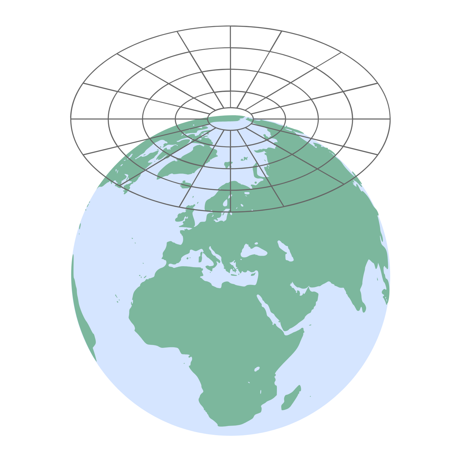
GIS & Spatial Analysis Services
We deliver suitability analyses, change detection, and site modeling to help you make better decisions before breaking ground. Our team also provides expert data annotation and schema design for predictive, high-impact spatial intelligence.
Trusted by Teams Like Yours
What Our Clients Say
Google Reviews
"They delivered what others said wasn’t possible and ahead of schedule."
As a Director of Engineering overseeing multiple solar site rollouts, I’ve worked with several GIS vendors. None of them delivered like Geospatial Solutions. Simcha’s team integrated custom suitability analyses, field data logic, and live dashboards — all within tight deadlines. Their understanding of location data and automation saved us weeks of field time and helped us avoid major permitting issues before they even started.

"Their field survey system cut our QA issues by over 70%."
We hired Geospatial Solutions to streamline our field data collection process across three states. What we got was far beyond expectations: intelligent survey links, automatic alerts, offline functionality, and seamless dashboard reporting. Our team in the field no longer struggles to find the right forms — and our data quality is better than ever. Plus, the turnaround time was lightning fast.
"A rare vendor that feels like an extension of our internal team."
Simcha and his team treated our GIS and automation challenges as if they were their own. We needed help integrating field photos, location-aware inspections, and automated reporting into our existing workflow — and they delivered. Not only did they meet every deadline, but they also offered smart suggestions that improved our operational efficiency long-term. Their mix of cost-efficiency and technical expertise is unmatched.
Frequently Asked Questions
What types of businesses do you work with?
We work with engineering firms, telecom companies, renewable energy developers, utilities, railroads, and government agencies — any organization that needs accurate spatial data, automated workflows, or decision-ready dashboards. We also provide skilled GIS manpower and training, helping you scale your internal capabilities with the right talent and tools.
How fast can you deliver a project?
Turnaround times depend on project scope, but we’re known for working under tight deadlines. Our team operates across time zones, often delivering overnight or over weekends to ensure you stay ahead.
Is your team in-house or outsourced?
We use a hybrid model — combining U.S.-based project management with vetted expert teams in India, the Philippines, and Israel. This gives you top-tier talent at a cost-efficient rate, without compromising on quality.
Do you offer custom dashboards for different departments?
Yes. We build dashboards tailored to roles — from CEO-level insights to EPC tracking and superintendent views — so every stakeholder sees only what’s relevant to them.
Can you integrate with our existing tools and platforms?
Absolutely. We support integrations with tools like Zapier, n8n, Power Automate, Oracle, Postgres, Dropbox, Box, and more to fit seamlessly into your workflow.

What if we need help designing our survey or data collection forms?
That’s part of what we do best. We work directly with your field team to structure smart, logic-based surveys that reduce human error and ensure high-quality, actionable data.
How is quality assured in your deliverables?
Every project goes through our dedicated Quality Control (QC) process, with trained professionals reviewing the data. If anything doesn’t meet your benchmarks, we fix it immediately at no extra cost.
Can your systems work offline in the field?
Yes. Our survey tools are fully functional offline, allowing your team to collect validated data even in remote or low-connectivity areas.
© 2025 Geospatial Solutions. All Rights Reserved.